 |
| Masterplan (Click To Expand) |
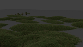
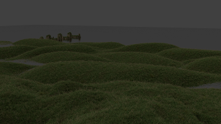
As Can be seen from the plan, I have revised the proposed landform for the West of the site, construsting a more complex series of islands. This landscape will act as a constructed hollow shell. I imagine the buildings to be constructed underneath this landform and to protrude though in certain places. Above the landform will be a web of pedestrian walkways interlinked with public realm spaces. People will have the option of using these walkways when the area is flooded or walking on the grass when the water levels descend. This local transport system will work in conjunction with the sites cable car infrastructure.

 The river will flood into the site throughout the day. This periodic flooding will be controlled by an underground system that will use this natural effect to harness energy and filter the water for use in the rest of the site.
Initially I have tried to the area as an extension of the natural park to the south. Dirt tracks, random tree placement, Japanese footbridges and a curvy marshland appearance bring a natural life to the site, working with the existing environment rather than opposing it. I am not yet sure if this plan will be suitable for the site as the plan is developed further, however as a starting point it fulfils the majority of my desires for the area.

No comments:
Post a Comment